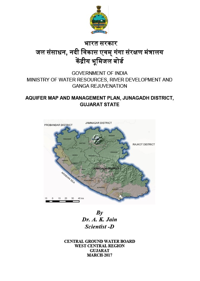
AQUIFER MAP AND MANAGEMENT PLAN, JUNAGADH DISTRICT, GUJARAT STATE
| Category |
Aquifer Mapping |
| State |
Gujarat
|
| District |
Junagadh |
| Block |
Bhesan Junagadh Keshod Malia Manavadar Mangrol Mendarda Vanthali Visavadar |
| Year of Issue |
2017 |
| Number of Authors |
1 |
| Name of Authors |
Dr. A. K. Jain |
| Keywords |
Aquifer Management Plans, Data Adequacy data gap analysis, Climate Rainfall, Geology Hydrogeology, Water level measurements, Data Integration Aquifer Mapping, Ground Water Quality – Sampling Analysis, Ground Water Related Issues |
| File |
Download |
Junagadh district is located on the Kathiawar peninsula in south western Gujarat with the city Junagadh as its administrative headquarters. Declines of groundwater level observed 85% of the area in the range of negligible to
1.5 m/year (period Nov 2004 to 2013) mostly in the basaltic terrain.