AQUIFER MAPS AND GROUNDWATER MANAGEMENT PLAN, VALSAD DISTRICT, GUJARAT STATE
| Category |
Aquifer Mapping |
| State |
Gujarat
|
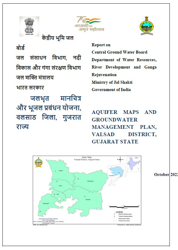
| District |
Valsad |
| Block |
Dharampur Kaprada Pardi Umbergaon Valsad Vapi |
| Year of Issue |
2022 |
| Number of Authors |
3 |
| Name of Authors |
Shri Kamar Ujjam Khan, Sh. Ramesh Jena, Miss Ariba Kamaal |
| Keywords |
Aquifer Management Plans, Data Adequacy data gap analysis, Climate Rainfall, Geology Hydrogeology, Water level measurements, Data Integration Aquifer Mapping, Ground Water Quality – Sampling Analysis, Ground Water Related Issues |
| File |
Download |
Valsad district is one of the important tribal districts of Gujarat State. It has a rich cultural background with affluent forest areas endowed with vivid fauna and flora. It is famous for its orchard plantations. Geologically Valsad district is a northern extension of Deccan Plateau of Central India, belonging to late Cretaceous – early Eocene age and here, it is followed by Quaternary sediments. Two major aquifer systems exist in Valsad district up to 200-meter depth. Major aquifer bearing formation is weathered and fractured/fissures basalt. Unconfined aquifer {comprised of Weathered basalt (0-21 meter)