REPORT ON AQUIFER MAPPING AND MANAGEMENT PLAN IN DARBHANGA DISTRICT, BIHAR (AAP 2022-23
| Category |
Aquifer Mapping |
| State |
Bihar
|
| District |
Darbhanga |
| Block |
Alinagar Bahadurpur Baheri Benipur Biraul Darbhanga Gaurabauram Ghanshyampur Hanuman Nagar Hayaghat Jale Keotirunway Kiratpur Kusheshwar Asthan Kusheswar Asthan East Manigachhi Singhwara Tardih |
| Year of Issue |
2023 |
| Number of Authors |
4 |
| Name of Authors |
Siperna Nayak, Assistant Hydrogeologist,Dr. S. DasMs. Manashi Bhattacharyya, Scientist-B , Scientist-C Shri Ritik Das, Scientist-B, |
| Keywords |
AQUIFER MAPPING AND MANAGEMENT PLAN IN DARBHANGA DISTRICT, BIHAR (AAP 2022-23 |
| File |
Download |
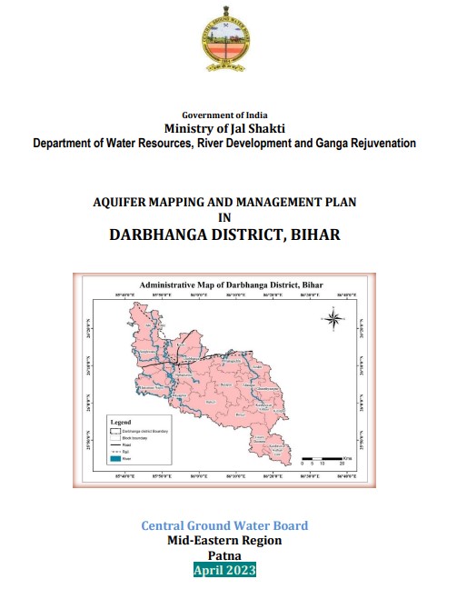
Darbhanga district forms a part of the north Bihar Plain and lies in the northern portion of the
state of Bihar. It covers a mappable area of 2504 sq.kms. and consists of 18 blocks namely,
Bahadurpur, Jale, Hayaghat, Singhwara, Benipur, Ghanshyampur, Baheri, Keoty,
Manigachhi, Darbhanga, Biraul, Kusheswar Asthan, Kusheswarsthan East,Alinagar, Gaura
Bauram, Kiratpur, Hanuman Nagar and Tardih. The study area (Figure 1) geographically lies
between 25°42' and 26°24' North latitude and 85°4' and 86 ° 23’ East longitudes. The area is
covered in Survey of India toposheet nos. 72F/11, 72F/12, 72F/15, 72F/16, 72G/13, 72J/3,
72J/4, 72J/8, 72K/1, 72K/5, 72K/6. It is bounded on the north by the districts of Sitamarhi
and Madhubani, on the south by the district of Samastipur, on the east by the districts of
Saharsa and Supaul and on the west by the district of Muzaffarpur