AQUIFER MAPPING AND MANAGEMENT PLAN IN MADHUBANI DISTRICT, BIHAR
| Category |
Aquifer Mapping |
| State |
Bihar
|
| District |
Madhubani |
| Block |
Andhratharhi Babu Barhi Basopatti Benipatti Bisfi Ghoghardiha Harlakhi Jainagar Jhanjharpur Kaluahi Khajauli Ladania Lakhnaur Laukaha (Khutauna) Laukahi Madhepur Madhwapur Pandaul Phulparas Rahika Rajnagar |
| Year of Issue |
2023 |
| Number of Authors |
6 |
| Name of Authors |
Divya Kujur, Senior Technical Assistant (Hydrogeology),Dr. Subrata Das, Scientist-C Ritik Das, ScientistDr. Shelja Tiwari, Assistant Chemist Anurag Shukla, STA(Chemical),-Shri S. S. Purty, Scientist-C |
| Keywords |
AQUIFER MAPPING AND MANAGEMENT PLAN IN MADHUBANI DISTRICT, BIHAR |
| File |
Download |
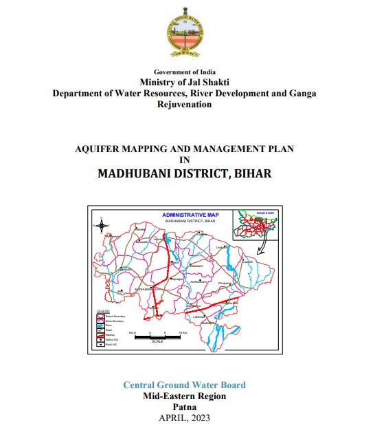
The district Madhubani is taken for aquifer mapping study during 2022-23. The district is
spread over 3501 Sq. km of geographical area out of which, mappable area of 3486 Sq. km is
taken up for study area. Madhubani district is bounded by Darbhanga district in the south,
Sitamarhi district in the west, Kosi river bordering Saharsa and Supaul in the east and hilly
region of Nepal in the north. The is at Madhubani town is the district headquarter of the district
and it is well connected by roads to its other towns like Jainagar, Jhanjhapur, Khutauna,
Benipatti, Phulparasa etc. The district is situated between 260
03’ 00”and 260 40’ 00” North
latitude and 850
45’ 00” and 860 44’ 00” East longitude. The district covers Survey of India
toposheets nos. 72 F/14, 72 F/15, 72 J/2, 72 J/3, 72 J/4, 72 J/6, 72 J/7, 72 J/8, 72 J/10, 72 J/11
and 72 J/12. The location map of the study area is shown in figure –1