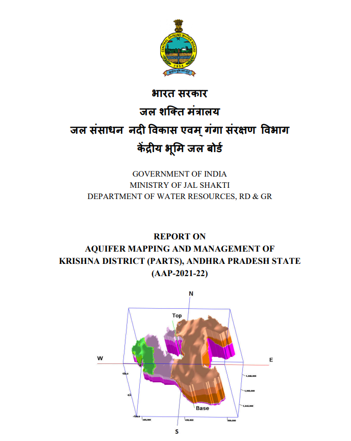
AQUIFER MAPPING AND MANAGEMENT OF KRISHNA DISTRICT (PARTS), ANDHRA PRADESH STATE (AAP-2021-22)
| Category |
Aquifer Mapping |
| State |
Andhra Pradesh
|
| District |
Krishna |
| Block |
Avanigadda Bantumilli Bapulapadu Challapalli Gannavaram Ghantasala Gudivada Gudlavalleru Guduru Kankipadu Koduru Kruttivennu Machilipatnam Mopidevi Movva Nagayalanka Nandivada Pamarru Pamidimukkala Pedana Pedaparupudi Penamaluru Thotlavalluru Unguturu Vuyyuru |
| Year of Issue |
2022 |
| Number of Authors |
3 |
| Name of Authors |
Resma S Pillai, Ravi Kumar Gumma, J. Siddhardha Kumar |
| Keywords |
Aquifer mapping, Krishna, Hyderabad, CGWB |
| File |
Download |
The study area is hard rock area of Krishna district and parts of West Godavari district with a mappable area of 4493 sq.km. The study area lies between north latitude 17°19´10.4”-16°28´58” and east longitude 80°0´4.87”- 81°7’. Administratively the area is governed by two revenue divisions – Vijayawada and Nuzvid covering 23 mandals of Krishna district, 2 mandals of west Godavari district and 470 villages having a population of 26.9 lakhs (2011 census, population density of 305).
