AQUIFER MAPPING AND MANAGEMENT PLAN IN PARTS OF PASCHIM MEDINIPUR AND JHARGRAM DISTRICTS, WEST BENGAL
| Category |
Aquifer Mapping |
| State |
West Bengal
|
| District |
Jhargram Medinipur West |
| Block |
Binpur-I Binpur-Ii Chandrakona-I Chandrakona-Ii Dantan-I Dantan-Ii Daspur-I Daspur-Ii Debra Garbeta-I Garbeta-Ii Garbeta-Iii Ghatal Gopiballav Pur -Ii Gopiballavpur-I Jambani Jhargram Keshiary Keshpur Kharagpur-I Kharagpur-Ii Midnapore Mohanpur Narayangarh Nayagram Pingla Sabang Salbani Sankrail |
| Year of Issue |
2022 |
| Number of Authors |
6 |
| Name of Authors |
S. M. HOSSAIN, Scientist - D,Sandhya Yadav, Scientist - E,Mahasweta Mukherjee (Young Professional)Rajyashree Nandy (Young Professional)Chirashree Mohanty, Scientist – CDr. S. K. Samanta, Regional Director, |
| Keywords |
AQUIFER MAPPING AND MANAGEMENT PLAN IN PARTS OF PASCHIM MEDINIPUR AND JHARGRAM DISTRICTS, WEST BENGAL |
| File |
Download |
Water is the most essential substance for existence of human civilization on earth and ground
water is one of the primary sources of fresh water and vital for the survival of the mankind.
However, over-exploitation, wastage as surface runoff after extraction, loss as sub-surface natural
ground water discharge along with the various geogenic and anthropogenic contamination are
continuously dwindling the fresh ground water availability considerably. Therefore, the demarcation
of the ground water potential zones and assessment of the quantity and quality of the ground water
resources as well as the effective and practical management of the whole ground water system are
enormously important for the sustainable availability and development of ground water in future. In
this context, the National Aquifer Mapping Management Programme (NAQUIM) was taken up by
CGWB under XIIth Plan, which would be completed in XIIIth Plan. As per the revised Action Plan of
NAQUIM work, in 2018-19 the aquifer mapping and ground water management studies had been
taken up by CGWB, ER, Kolkata to cover a total area of 10137 sq. km. in West Bengal out of which
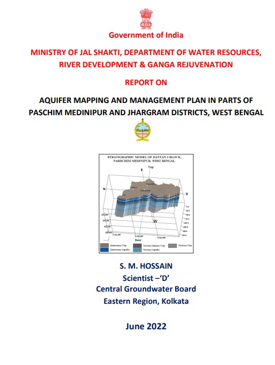
this NAQUIM work covers 2990 sq. km. comprising 10 blocks of Paschim Medinipur district and 2
blocks of Jhargram district. In this report, the aquifer mapping work in 12 nos. of blocks in parts of
Paschim Medinipur and Jhargram districts has been presented where the geographical position in
time and space, geometry, hydrogeological and hydrological characteristics of various aquifers
collectively as well as individually, the ground water occurrences and movements, available
resources in terms of quantity vis-a-vis quality and finally the recommendation of suitable block-wise
aquifer and ground water management plans with respect to future ground water development
have been discussed.