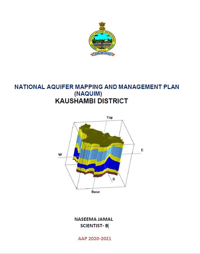
NATIONAL AQUIFER MAPPING AND MANAGEMENT PLAN (NAQUIM) KAUSHAMBI DISTRICT
| Category |
Aquifer Mapping |
| State |
Uttar Pradesh
|
| District |
Kaushambi |
| Block |
Chail Kara Kaushambi Manjhanpur Mooratganj Nevada Sarsawan Sirathu |
| Year of Issue |
2021 |
| Number of Authors |
1 |
| Name of Authors |
NASEEMA JAMAL SCIENTIST- B |
| Keywords |
Hydrogeology Groundwater resources Aquifer Hydrological cycle Water availability Water table Water quality monitoring Geophysical surveys Hydrological modeling Sustainability of groundwater ground water intervention aquifer system |
| File |
Download |
Kaushambi district was carved out of Allahabad and lies between 25015’30’’and 25047’45” north latitude and 80009’00” and 81049’00” east longitude in survey of India toposheet 63G. Total geographical area of the district is 1780 sq. km. District headquarter is at Kaushambi having 3 (three) number of tehsils and 8 (Eight) number of blocks (fig 1). As per the 2011 census the district has population of 1596909 of which 838095 males and 758814 females. Scheduled caste population is 196040 and scheduled tribe population is 60. Literacy rate of the district is 63.05%.
