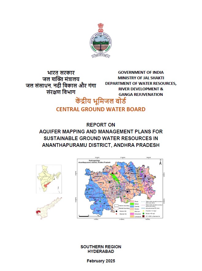
AQUIFER MAPPING AND MANAGEMENT PLANS FOR SUSTAINABLE GROUND WATER RESOURCES IN ANANTHAPURAMU DISTRICT, ANDHRA PRADESH
| Category |
Aquifer Mapping |
| State |
Andhra Pradesh
|
| District |
Anantapur |
| Block |
Anantapur Atmakur Beluguppa Bommanahal Brahmasamudram Bukkarayasamudram D.Hirehal Garladinne Gooty Gummagatta Guntakal Kalyandrug Kambadur Kanekal Kudair Kundurpi Narpala Pamidi Peddapappur Peddavadugur Putlur Raptadu Rayadurg Settur Singanamala Tadipatri Uravakonda Vajrakarur Vidapanakal Yadiki Yellanur |
| Year of Issue |
2025 |
| Number of Authors |
3 |
| Name of Authors |
Dr. S. Srinivasa Vittala Scientist – C Sh. G. Krishnamurthy Regional Director Sh. P. Yadaiah Scientist – C |
| Keywords |
Hydrogeology, Groundwater resources, Aquifer ,Hydrological cycle ,Water availability Water table, Water quality monitoring, Geophysical surveys, Sustainability of groundwater , ground water intervention, aquifer system study |
| File |
Download |
The main scope of study is summarised below.
Compilation of existing data (exploration, geophysical, ground water level and ground water quality with geo-referencing information and identification of principal aquifer units.
Periodic long-term monitoring of ground water regime (for water levels and water quality) for creation of time series data base and ground water resource estimation.
Quantification of ground water availability and assessing its quality.
To delineate aquifer in 3-D along with its characterization on 1:50,000 scale.
Capacity building in all aspects of ground water extraction and management through information, education and communication (IEC) activities, information, dissemination, education and awareness and training.
Enhancement of coordination with concerned central/state govt. organizations and academic/research institutions for sustainable ground water management.