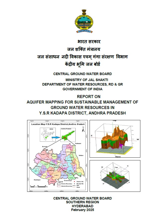
AQUIFER MAPPING FOR SUSTAINABLE MANAGEMENT OF GROUND WATER RESOURCES IN Y.S.R KADAPA DISTRICT, ANDHRA PRADESH
| Category |
Aquifer Mapping |
| State |
Andhra Pradesh
|
| District |
Y.S.R. |
| Block |
Atlur B.Kodur Badvel Brahmamgarimatham. Chakrayapet Chapadu Chennur Chintakomma Dinne Duvvur Gopavaram Jammalamadugu Kadapa Kalasapadu Kamalapuram Khajipet Kondapuram Lingala Muddanur Mydukur Mylavaram Peddamudium Pendlimarri Porumamilla Proddatur Pulivendla Rajupalem Sidhout Simhadripuram Sri Avadutha Kasinayana Thondur Vallur Veerapanayani Palle Vempalle Vemula Vontimitta Yerraguntla |
| Year of Issue |
2025 |
| Number of Authors |
1 |
| Name of Authors |
Swaroop Kalyan Sahoo : Assistant Hydrogeologist |
| Keywords |
Hydrogeology, Groundwater resources, Aquifer ,Hydrological cycle ,Water availability Water table, Water quality monitoring, Geophysical surveys, Sustainability of groundwater , ground water intervention, aquifer system study |
| File |
Download |
Compilation of existing data (exploration, geophysical, groundwater level and groundwater quality with geo-referencing information and identification of principal aquifer units.
Periodic long-term monitoring of ground water regime (for water levels and water quality) for creation of time series data base and ground water resource estimation.
Quantification of groundwater availability and assessing its quality.
To delineate aquifer in 3-D along with their characterization on 1:50, 000 scale.
Capacity building in all aspects of ground water development and management through information, education and communication (IEC) activities, information dissemination, educa-tion, awareness and training.