AQUIFER MAPPING FOR SUSTAINABLE MANAGEMENT OF GROUND WATER RESOURCES IN PRAKASAM DISTRICT, ANDHRA PRADESH
| Category |
Aquifer Mapping |
| State |
Andhra Pradesh
|
| District |
Prakasam |
| Block |
Ardhaveedu Bestavaripeta Chandra Sekhara Puram Chimakurthi Cumbum Darsi Donakonda Dornala Giddaluru Hanumanthuni Padu Kanigiri Komarolu Konakanamittla Kondapi Kotha Patnam Kurichedu Maddipadu Markapur Marripudi Mundlamuru Naguluppala Padu Ongole Pamur Peda Araveedu Pedacherlo Palle Podili Ponnaluru Pullalacheruvu Racherla Santhanuthala Padu Singarayakonda Tallur Tangutur Tarlupadu Tripuranthakam Veligandla Yerragondapalem Zarugumilli |
| Year of Issue |
2023 |
| Number of Authors |
2 |
| Name of Authors |
Md. Sarif Khan Scientist-C (HG) Ravi Kumar Gumma Scientist-D |
| Keywords |
Hydrogeology, Groundwater resources, Aquifer ,Hydrological cycle ,Water availability Water table, Water quality monitoring, Geophysical surveys, Sustainability of groundwater , ground water intervention, aquifer system study |
| File |
Download |
Compilation of existing data (exploration, geophysical, groundwater level and groundwater quality with geo-referencing information and identification of principal aquifer units.
Periodic long term monitoring of ground water regime (for water levels and water quality) for creation of time series data base and ground water resource estimation.
Quantification of groundwater availability and assessing its quality.
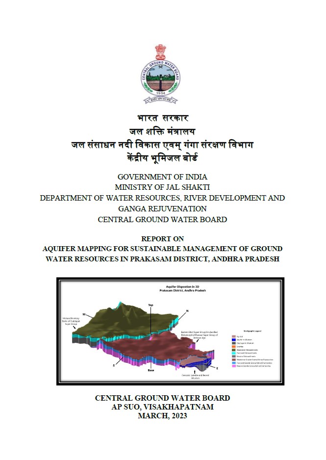
To delineate aquifer in 3-D along with their characterization on 1:50, 000 scale.
Capacity building in all aspects of ground water development and management through information, education and communication (IEC) activities, information dissemination, education, awareness and training.
Enhancement of coordination with concerned central/state govt. organizations and academic/research institutions for sustainable ground water management.