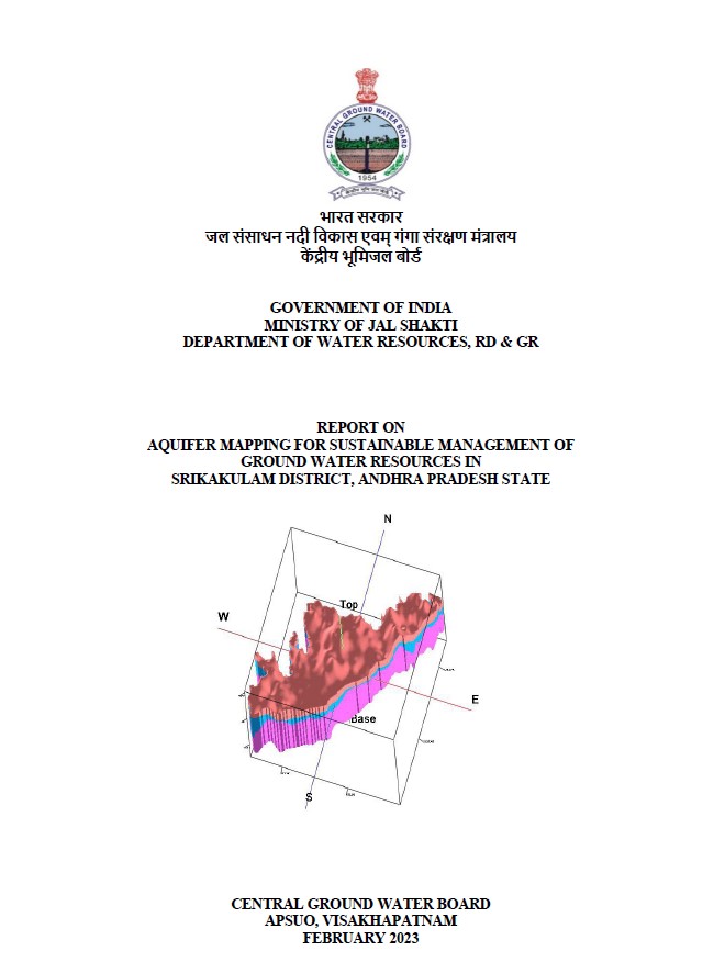
AQUIFER MAPPING FOR SUSTAINABLE MANAGEMENT OF GROUND WATER RESOURCES IN SRIKAKULAM DISTRICT, ANDHRA PRADESH STATE
| Category |
Aquifer Mapping |
| State |
Andhra Pradesh
|
| District |
Srikakulam |
| Block |
Amadalavalasa Burja Etcherla Ganguvarisigadam Gara Hiramandalam Ichapuram Jalumuru Kanchili Kaviti Kotabommili Kotturu L.N Peta Laveru Mandasa Meliaputti Nandigam Narasannapeta Palasa Pathapatnam Polaki Ponduru Ranastalam Santhabommali Saravakota Sarubujjili Sompeta Srikakulam Tekkali Vajrapukotturu |
| Year of Issue |
2023 |
| Number of Authors |
1 |
| Name of Authors |
Smt Nilima Patra : Assistant Hydrogeologist |
| Keywords |
Hydrogeology, Groundwater resources, Aquifer ,Hydrological cycle ,Water availability Water table, Water quality monitoring, Geophysical surveys, Sustainability of groundwater , ground water intervention, aquifer system study |
| File |
Download |
Compilation of existing data (exploration, geophysical, groundwater level and
groundwater quality with geo-referencing information and identification of principal
aquifer units.
Periodic long-term monitoring of ground water regime (for water levels and water
quality) for creation of time series data base and ground water resource estimation.
Quantification of groundwater availability and assessing its quality.
To delineate aquifer in 3-D along with their characterization on 1:50, 000 scale.
Capacity building in all aspects of ground water development and management through
information, education and communication (IEC) activities, information dissemination,
education, awareness and training.
Enhancement of coordination with concerned central/state govt. organizations and
academic/research institutions for sustainable ground water management.