INCEPTION REPORT ON BANGALORE CITY IN URBAN AGGLOMERATE CATEGORY UNDER NAQUIM 2.0
| Category |
Aquifer Mapping |
| State |
Karnataka
|
| District |
Bengaluru Urban |
| Block |
Anekal Bengaluru East Bengaluru North Bengaluru South Yelahanka |
| Year of Issue |
2023 |
| Number of Authors |
1 |
| Name of Authors |
Dr. Suchetana Biswas |
| Keywords |
NAQUIM 2.0, Inception Report, Bangalore Urban, Artificial Recharge Plan, Ground Water Quality, Aquifer Management Plan, CGWB, WIMS |
| File |
Download |
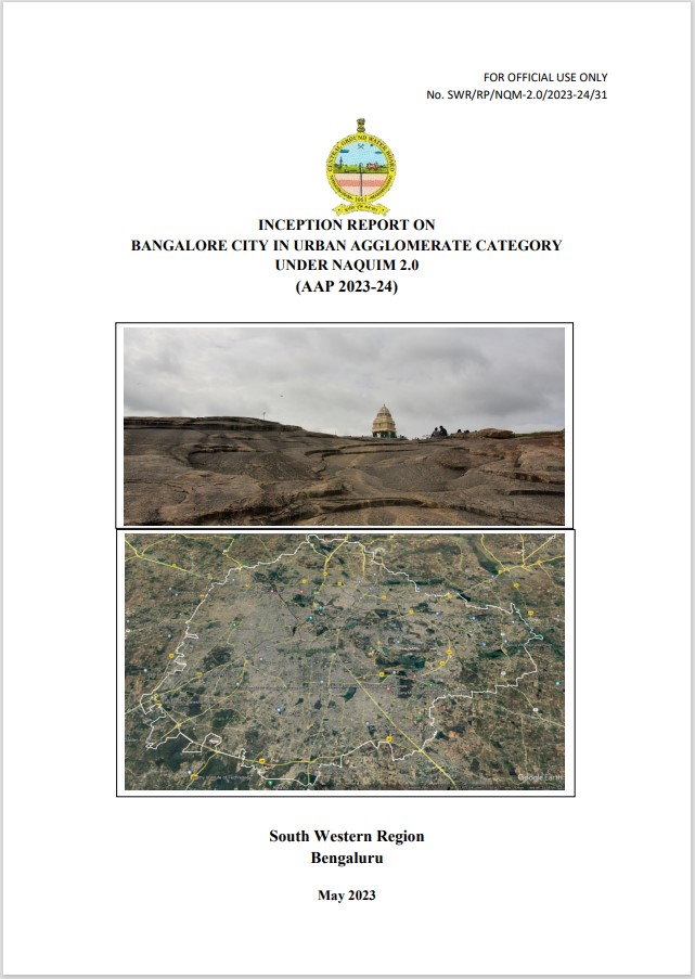
Bangalore is situated on a highland that forms a divide between the rivers Arkavathi on the west and South Pennar on the east. The city consists of two distinct entities namely area covered by the core city (erstwhile Bangalore City Corporation area) and the other, i.e., peripheral/ surrounding area (covered by erstwhile 7 CMCs and one Town Municipal Council). The area is predominantly underlain by granites and gneisses of Archaean age. The weathered thickness varied from 10 to 30 meters. Fractured, fissured and weathered granites and gneisses constitute the major aquifer system in Greater Bangalore. Groundwater occurs under phreatic condition in the shallow weathered rock and residuum, and under semi confined condition in the deeper jointed and fractured granites and gneisses. Bangalore gets its major water supply from surface water sources, supplemented by borewell waters. The responsibility of supplying adequate quantity and quality of water to the BBMP is entrusted to the Bangalore Water Supply and Sewerage Board (BWSSB). The inner zone of BBMP is fully covered by piped water supply from Cauvery river. The outer zone is partially covered by surface water source and partially by ground water with flourishing water markets based on borewells, which puts tremendous pressure on ground water leading to over-exploitation.