INCEPTION REPORT ON DETAILED STUDY ON AQUIFER MAPPING AND MANAGEMENT IN PARTS OF VIJAYAWADA, GUNTUR AND AMARAVATHI URBAN AGGLOMERATE IT’S SURROUNDING AREAS, ANDHARA PRADESH UNDER NAQUIM 2.0
| Category |
Aquifer Mapping |
| State |
Andhra Pradesh
|
| District |
Guntur |
| Block |
Chebrole Duggirala Guntur Kakumanu Kollipara Mangalagiri Medikonduru Pedakakani Pedanandipadu Phirangipuram Ponnur Prathipadu Tadepalle Tadikonda Tenali Thullur Vatticherukuru |
| Year of Issue |
2023 |
| Number of Authors |
1 |
| Name of Authors |
Dr. M. Sudheer Kumar |
| Keywords |
NAQUIM 2.0, Inception Report, Vijayawada, Guntur, Amaravathi, Artificial Recharge Plan, Ground Water Quality, Aquifer Management Plan, CGWB, Urbanization, Geophysical surveys |
| File |
Download |
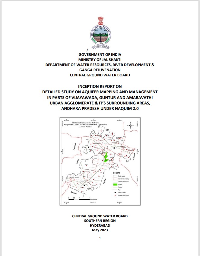
NAQUIM 2.0 is designed to provide detailed information to support groundwater management decisions at ground level. Since the issues are different in different areas, the studies under NAQUIM 2.0 are proposed as issue specific and will be undertaken in prioritized focus areas. Broadly, 11 priority areas viz., (i) Water Stressed Areas, (ii) Urban Agglomerate, (iii) Coastal Areas, (iv) Industrial Clusters and Mining Areas, (v) Areas with Springs as the principal source, (vi) Areas with Deeper Aquifers, (vii) Ground Water Contamination, (viii) Autoflow zones, (ix) Canal Command Areas, (x) Areas with poor ground water quality and (xi) Other specific Issues are 3 identified in the country based on ground water related issues. Out of the above 11 priority areas, the current study area is chosen under ‘Urban Agglomerate’ category. Geographical area: The study area falling in and around Vijayawada, Guntur and Amaravathi urban agglomerate covered a geographical area of 879 sq.km lies between North latitudes 16 13'30" to 16 39' 13" and East longitudes 80 19' 19" to 80 45'54" falling in SOI toposheets 65 D/6, D/7, D/8, D/10, D/11 and D/14 on 1:50,000 scale. The area covered about 81 villages including Vijayawada and Guntur urban areas distributed in 11 mandals and are falling in 3 districts