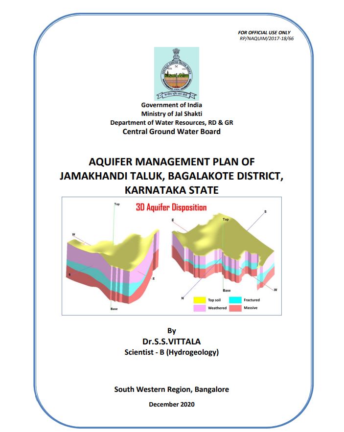
AQUIFER MANAGEMENT PLAN OF JAMAKHANDI TALUK, BAGALAKOTE DISTRICT, KARNATAKA STATE
| Category |
Aquifer Mapping |
| State |
Karnataka
|
| District |
Bagalkote |
| Block |
Jamkhandi |
| Year of Issue |
2020 |
| Number of Authors |
1 |
| Name of Authors |
Dr.S.S.VITTALA |
| Keywords |
NAQUIM 2.0, Inception Reports, Jamkhandi Taluk, Artificial Recharge Plan, Ground water Quality, Aquifer Management Plan |
| File |
Download |
Aquifer mapping studies was carried out in Jamakhandi taluk, Bagalakote district, Karnataka
State under National Aquifer Mapping Project. The taluk is covering an area of 1,133 sq.kms.
Taluk administration of Jamakhandi taluk is divided into 3 Hoblies and 38 Grama Panchyaths.
Jamakhandi town is the taluk head quarter. There are 71 villages present in the taluk.
Jamakhandi taluk of Bagalakote district is located between North Latitude 16 24’ 19.64” and
16 46’ 56.97” and East Longitude 74 59’ 13.58” and 75 29’ 42.71.71”. The taluk is covered in
parts of Survey of India Toposheet Nos. 47 P/2, P/3, P/5, P/6 and P/7. Jamakhandi taluk is
bounded by Athani taluk towards north, Vijayapura taluks towards east, Mudhol taluk towards
south and Raybag towards west.