CGWB - Publications Warehouse
Lakhanpur Block is situated on the central part of Surguja district of Chhattisgarh and is bounded in the west by Udaipur Block, in the east by Mainpat block and Ambikapur Blo...

Lundra Block is situated on the north eastern part of Surguja district of Chhattisgarh and is bounded in the west by Ambikapur Block, in the south by Batauli block, in the nor...

Mainpat Block is situated on the southern part of Surguja district of Chhattisgarh and is bounded in the west by Lakhanpur and Ambikapur Blocks, in the east by Sitapur Block,...
Sitapur Block is situated on the southern part of Surguja district of Chhattisgarh and is bounded in the north by Batauli block, in west by Mainpat Block, in the east and sout...
Udaipur Block is situated on the southern part of Surguja district of Chhattisgarh and is bounded on the north by Lakhanpur block, in the west by Surajpur district, in the sou...

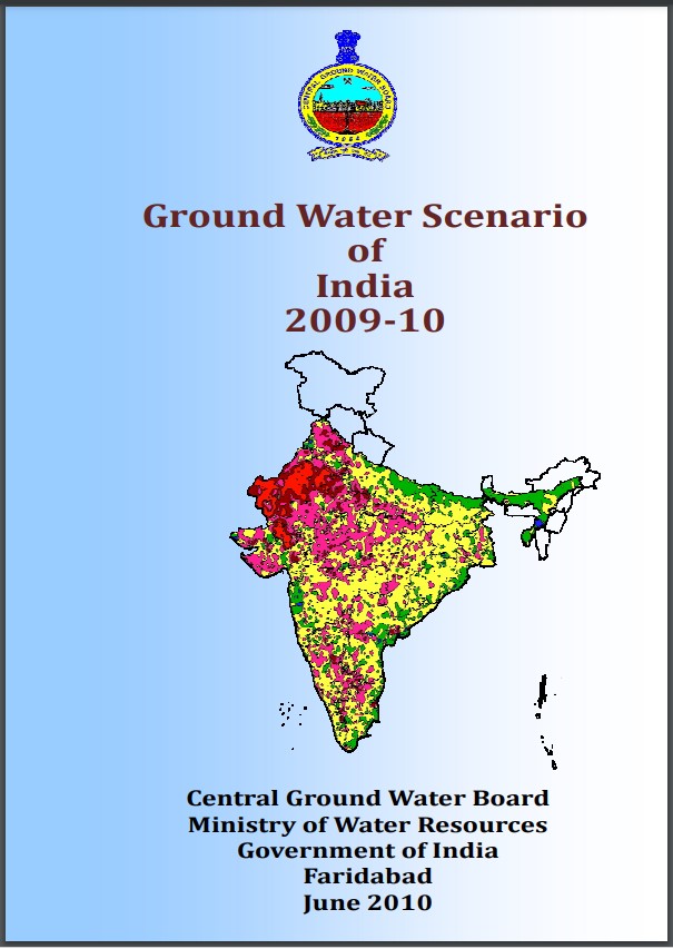
The groundwater is the most valuable resource for the country. However, due to rapid and uneven development, this resource has come under stress in several parts of the countr...
The groundwater is the most valuable resource for the country. However, due to rapid and uneven development, this resource has come under stress in several parts of the countr...

The groundwater is the most valuable resource for the country. However, due to rapid and uneven development, this resource has come under stress in several parts of the countr...

Name of the Block Rajnandgaon Area 743 Sq. km. District Rajnandgaon State Chhattisgarh, The total population of Rajnandgaon block as per 2011 Census is 3,63,352. The decadal g...