CGWB - Publications Warehouse
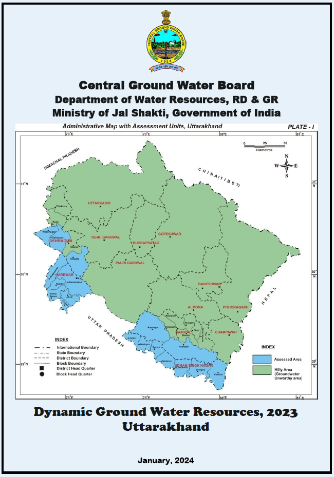
Contains status of dynamic ground water resources of Uttarakhand as on 2023 with recommendations to tackle GW related issues by means of resource utilisation and/augmentation.

Contains status of dynamic ground water resources of West Bengal as on 2023 with recommendations to tackle GW related issues by means of resource utilisation and/augmentation.
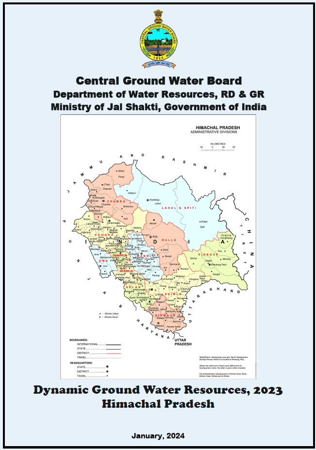
Contains status of dynamic ground water resources of Himachal Pradesh as on 2023 with recommendations to tackle GW related issues by means of resource utilisation and/augmenta...
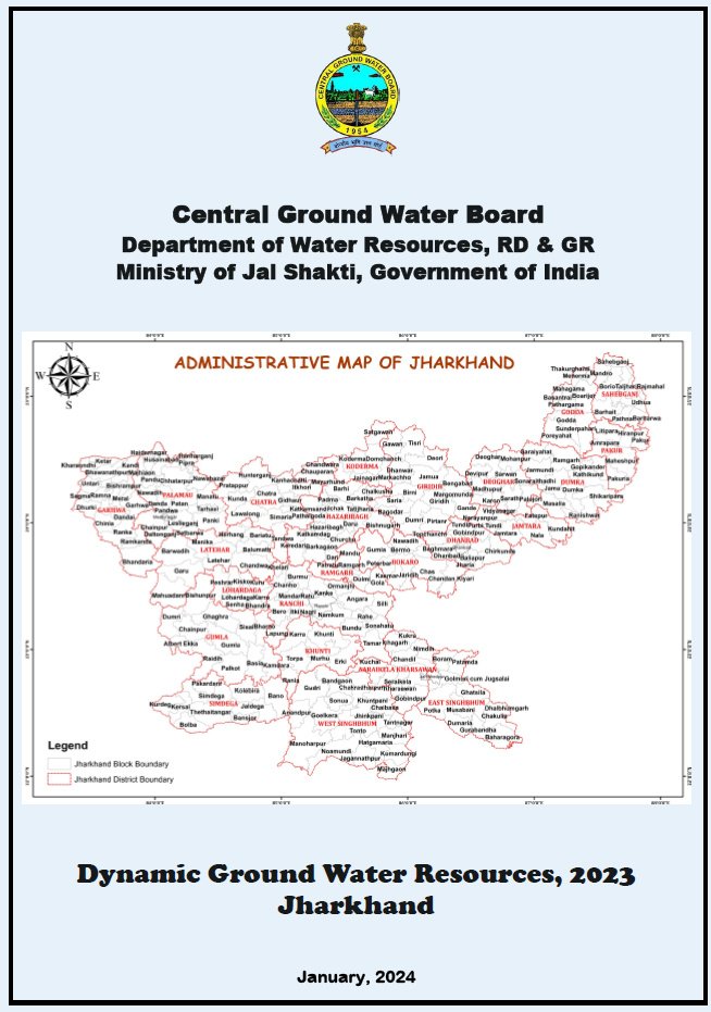
Contains status of dynamic ground water resources of Jharkhand as on 2023 with recommendations to tackle GW related issues by means of resource utilisation and/augmentation.
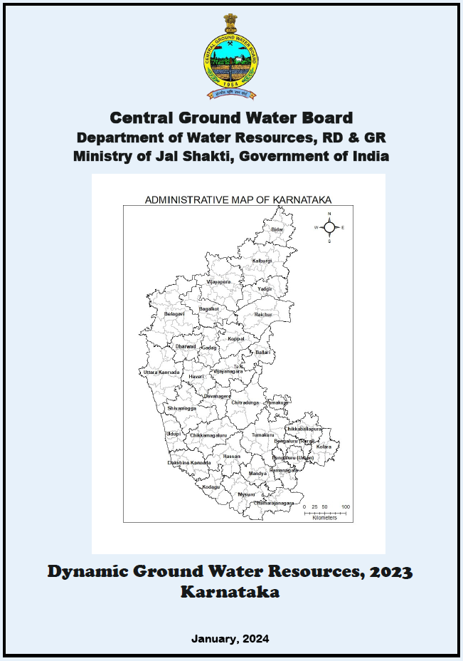
Contains status of dynamic ground water resources of Karnataka as on 2023 with recommendations to tackle GW related issues by means of resource utilisation and/augmentation.
Contains status of dynamic ground water resources of Lakshadweep as on 2023 with recommendations to tackle GW related issues by means of resource utilisation and/augmentation.

Contains status of dynamic ground water resources of Maharashtra as on 2023 with recommendations to tackle GW related issues by means of resource utilisation and/augmentation.