CGWB - Publications Warehouse

Contains status of dynamic ground water resources of Arunachal Pradesh as on 2023 with recommendations to tackle GW related issues by means of resource utilisation and/augment...

Contains status of dynamic ground water resources of U.T. of Chandigarh as on 2023 with recommendations to tackle GW related issues by means of resource utilisation and/augmen...
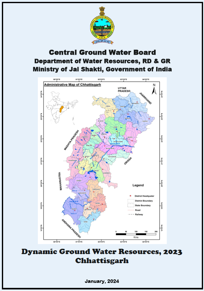
Contains status of dynamic ground water resources of Chhattisgarh as on 2023 with recommendations to tackle GW related issues by means of resource utilisation and/augmentation...
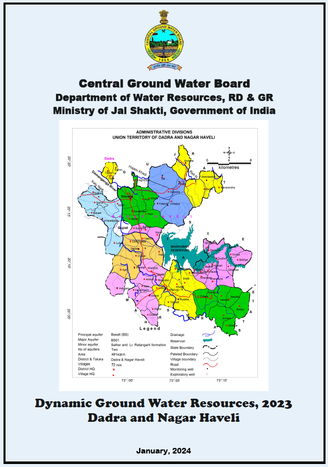
Contains status of dynamic ground water resources of Dadra and Nagar Haveli as on 2023 with recommendations to tackle GW related issues by means of resource utilisation and/au...
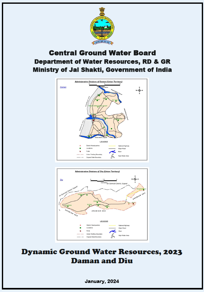
Contains status of dynamic ground water resources of Daman and Diu as on 2023 with recommendations to tackle GW related issues by means of resource utilisation and/augmentatio...