CGWB - Publications Warehouse
Moradabad district lies between 28 0 27’18’’ and 29 0 16’ 12’’ North latitudes and 78 0 30’ 07’’ and 78 0 59’ 13’’ East longitudes and falls in Survey of India toposh...
Systematic mapping of an aquifer encompasses a host of activities such as collection and compilation of available information on aquifer systems, demarcation of their extents...
The scope of the present study is broadly outlined within the framework of National Aquifer Management Programme (NAQUIM) being implemented by CGWB. In the present report an...
Scope of the present work was to prepare aquifer map on the basis of available data from the previous work done by Central Ground Water Board. The purpose of the present work...
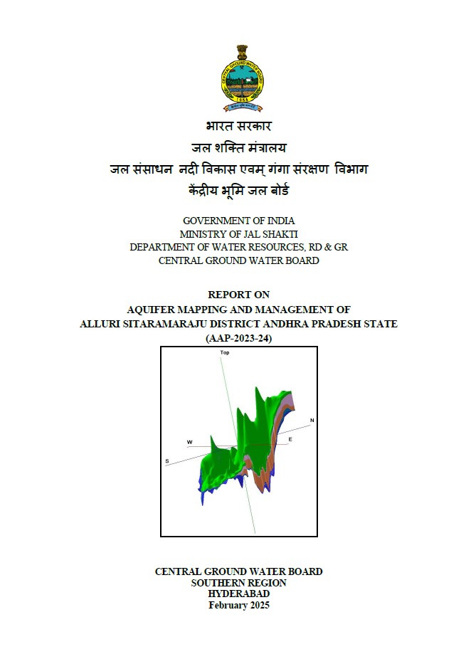
Compilation of existing data (exploration, geophysical, groundwater level and groundwater quality with geo-referencing information and identification of principal aquifer unit...
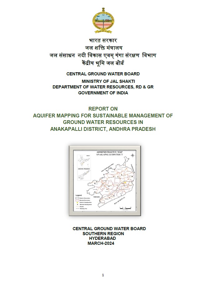
Compilation of existing data (exploration, geophysical, groundwater level and groundwater quality with geo-referencing information and identification of principal aquifer unit...
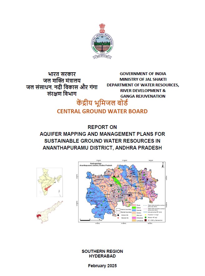
The main scope of study is summarised below. Compilation of existing data (exploration, geophysical, ground water level and ground water quality with geo-referencing inform...
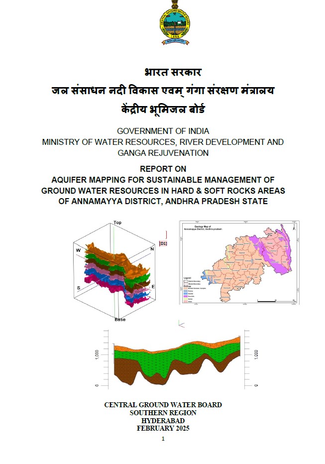
Compilation of existing data (exploration, geophysical, groundwater level and groundwater quality with geo-referencing information and identification of principal aquifer unit...

An integrated hydrogeological study was taken up to develop a reliable and comprehensive aquifer map and to suggest suitable groundwater management plan on 1: 50,000 scale. Th...
of existing data (exploration, geophysical, groundwater level and groundwater quality with geo-referencing information and identification of principal aquifer units. Perio...
Compilation of existing data (exploration, geophysical, groundwater level and groundwater quality with geo-referencing information and identification of principal aquifer uni...
Compilation of existing data (exploration, geophysical, groundwater level and groundwater quality with geo-referencing information and identification of principal aquifer unit...