CGWB - Publications Warehouse
Media image
Publication
AQUIFER MAPPING AND MANAGEMENT OF GROUND WATER RESOURCES

Aquifer Ma p p i n g s t u d y has been c a r r i e d o u t i n Go a s t a t e , covering an area of 3,702 sq.kms. Goa is the smallest State in India by area and the fourth s...

Media image
Publication
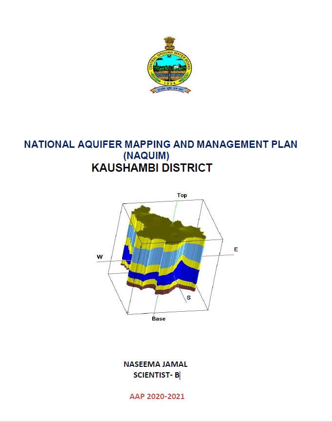
NATIONAL AQUIFER MAPPING AND MANAGEMENT PLAN (NAQUIM) KAUSHAMBI DISTRICT

Kaushambi district was carved out of Allahabad and lies between 25015’30’’and 25047’45” north latitude and 80009’00” and 81049’00” east longitude in survey of India toposheet...
Media image
Publication
NATIONAL AQUIFER MAPPING AND MANAGEMENT PLAN OF PRATAPGARH DISTRICT

Pratapgarh district is a segment of Faizabad division and geographically falls in the south-eastern part of Uttar Pradesh. The geographical area of the district is 3717 sq. km...

Media image
Publication
NATIONAL AQUIFER MAPPING AND MANAGEMENT PLAN (NAQUIM) BALRAMPUR DISTRICT

Balrampur district lies in the eastern part of the State Uttar Pradesh. It is surrounded by Gonda district in the south, Shravasti in the west, Siddarthnagar in the east and...

Media image
Publication
NATIONAL AQUIFER MAPPING AND MANAGEMENT PLAN OF BASTI DISTRICT

Basti district forms a part of Central Ganga Plain of Uttar Pradesh, and lies in the doab of Ghaghra and Rapti. It covers an area of 2938 sq.km. The district lies between the...

Media image
Publication
NATIONAL AQUIFER MAPPING AND MANAGEMENT PLAN OF BIJNOR DISTRICT

Bijnor district is a segment of Rohilkhand or Bareilly division and geographically falls in the north western part of Uttar Pradesh. The geographical area of the district is 4...

Media image
Publication
A REPORT ON AQUIFER MAPPING AND GROUNDWATER MANAGEMENT PLAN CHANDAULI DISTRICT,

The Chandauli district is a segment of Southeastern part of Uttar Pradesh. It lies between Latitude (24°56’to 25°35′ N) and Longitude (83°14′ to 84°24′ E) falling in survey of...
Media image
Publication
AQUIFER MAPPING AND MANAGEMENT PLAN OF FARRUKHABAD DISTRICT, UTTAR PRADESH

The district Farrukhabad is located in the western segment of Uttar Pradesh and lies between latitude 26046000” and 27043’00’’N and longitude 79007’30” and 80002’00”. It fall...
Media image
Publication
NATIONAL AQUIFER MAPPING AND MANAGEMENT PLAN OF SAMBHAL DISTRICT UTTAR PRADESH

Sambhal district is located in western Uttar Pradesh. The district came into existence in September, 2011 as Bhimnagar by taking out parts of adjoining districts, Badaun (3...
Media image
Publication
AQUIFER MAPPING AND MANAGEMENT OF GROUND WATER RESOURCES SONBHADRA DISTRICT, UTTAR PRADESH

The district Sonbhadra lies in southeastern portion of Uttar Pradesh falling within Varanasi divisions. It is bounded on the north by Mirzapur district Varanasi, on the east...
Media image
Publication
AQUIFER MAPPING AND MANAGEMENT PLAN OF SANT RAVIDAS NAGAR DISTRICT, UTTAR PRADESH

The scope of the present study is broadly within the framework of National Aquifer Mapping and Management Programme (NAQUIM) being implemented by CGWB. There are four major...
Media image
Publication
NATIONAL AQUIFER MAPPING AND MANAGEMENT PLAN NICOBAR DISTRICT ANDAMAN NICOBAR ISLANDS

Nicobar District is studied by Central Ground Water Board (CGWB) for its hydrogeology under over all scope of NAQUIM project. Specifically, aim of the study is to understand...