CGWB - Publications Warehouse
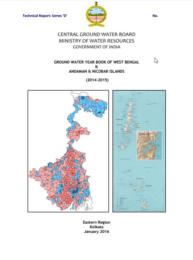
In West Bengal, ground water level monitoring is carried out by Central Ground Water Board, Eastern Region from 1530 Ground Water Monitoring Wells covering all nineteen distri...

In West Bengal, ground water level monitoring is carried out by Central Ground Water Board, Eastern Region from 1861 Ground Water Monitoring Wells covering all districts of We...
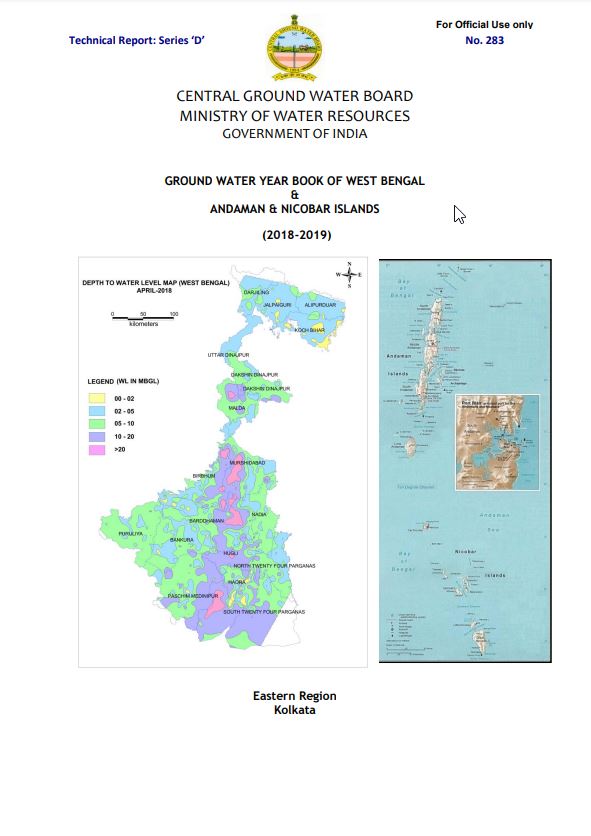
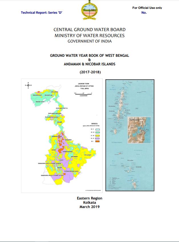
In West Bengal, ground water level monitoring is being carried out by Central Ground Water Board, Eastern Region from 1810 Ground Water Monitoring Wells covering all districts...