Development and Ganga RejuvenationGovernment of India
CGWB - Publications Warehouse
AQUIFER SYSTEMS OF MEGHALAYA
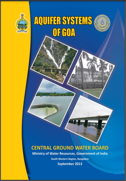
Aquifer System of Goa
Aquifer System of Andhra Pradesh
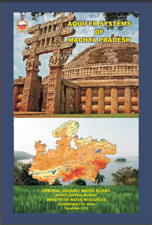
AQUIFER SYSTEMS OF MADHYA PRADESH
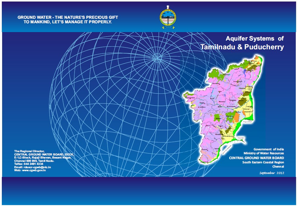
Aquifer System of Tamil Nadu
AQUIFER MAPPING AND MANAGEMENT PLAN FATEHGARH SAHIB DISTRICT
AQUIFER MAPPING AND MANAGEMENT PLAN FEROZPUR AND FAZILKA DISTRICTS
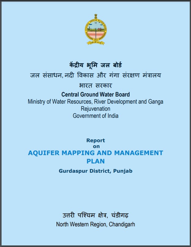
AQUIFER MAPPING MANAGEMENT PLAN GURDASPUR DISTRICT PUNJAB
AQUIFER MAPPING AND MANAGEMENT PLAN Hoshiarpur District, Punjab
AQUIFER MAPPING AND MANAGEMENT PLAN PATIALA DISTRICT, PUNJAB
AQUIFER MAPPING AND MANAGEMENT PLAN ROPAR DISTRICT, PUNJAB
AQUIFER MAPPING AND MANAGEMENT PLAN SANGRUR DISTRICT, PUNJAB