CGWB - Publications Warehouse

Media image
Publication
AQUIFER MAPPING AND GROUNDWATER MANAGEMENT PLAN, TAPI DISTRICT, GUJARAT STATE

The district is situated in the southern part of the state. It is bounded by the Surat district on the west, Narmada in the north, the Navsari district in the south, The Dang...

Media image
Publication
AQUIFER MAPPING AND MANAGEMENT OF GROUND WATER RESOURCES KARIMNAGAR DISTRICT, TELANGANA

Aquifer mapping is a process wherein a combination of geologic, geophysical, hydrologic, hydrogeological and chemical analyses is applied to characterize the quantity, quali...

Media image
Publication
AQUIFER MAPPING AND MANAGEMENT OF GROUND WATER RESOURCES NIRMAL DISTRICT, TELANGANA

Aquifer mapping is a process wherein a combination of geologic, geophysical, hydrologic, hydrogeological and chemical analyses is applied to characterize the quantity, quali...

Media image
Publication
AQUIFER MAPPING AND MANAGEMENT PLAN IN NUAPADA DISTRICT, ODISHA

Nuapada District is located in the western part of Odisha, lies between 200 00’ and 210 05’ North latitudes and 820 28’ and 820 40’ East longitudesand falls in the Survey of I...

Media image
Publication
AQUIFER MAPS AND GROUNDWATER MANAGEMENT PLAN, VALSAD DISTRICT, GUJARAT STATE

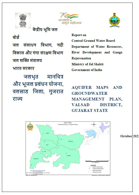
Valsad district is one of the important tribal districts of Gujarat State. It has a rich cultural background with affluent forest areas endowed with vivid fauna and flora. It...

Media image
Publication
AQUIFER MAPPING AND MANAGEMENT OF GROUND WATER RESOURCES Rangareddy District Telangana State

Aquifer mapping is a multidisciplinary scientific approach wherein a combination of geologic, geophysical, hydrologic, and chemical analysis is applied to characterize the q...

Media image
Publication
AQUIFER MAPPING AND MANAGEMENT OF GROUND WATER RESOURCES

Diu district is an island on southern portion of Gujarat Peninsula. It is joined with Una Taluka of Gujarat State by two bridges over a sea creek. Diu district is situated on...

Media image
Publication
AQUIFER MAPPING AND GROUNDWATER MANAGEMENT PLAN OF DAMAN DISTRICT UT OF DAMAN AND DIU

Daman is a small port on the Arabian Sea. It is a Union Territory under UT of Daman Diu and the capital of the UT. Geologically, the area is occupied by basaltic lava flows o...

Media image
Publication
AQUIFER MAPPING AND MANAGEMENT PLAN IN NABARANGPUR DISTRICT, ODISHA

Aquifer mapping was carried out in the hard rock terrain of Nabarangpur district in Odisha covering 10 blocks of the district namely, Chandahandi, Dabugaon, Jharigaon, Kosagum...

Media image
Publication
AQUIFER MAPS AND GROUND WATER MANAGEMENT PLANS, UNION TERRITORY OF DADRA NAGAR HAVELI

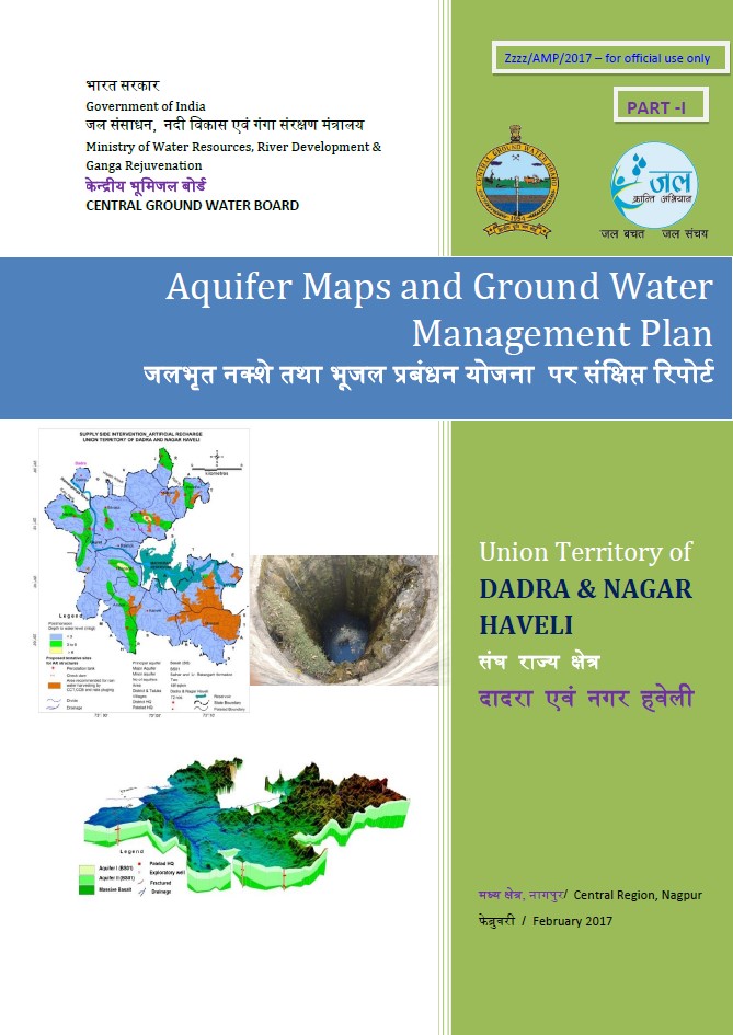
The UT of DNH has hilly terrain especially towards the North-East and East where it is surrounded by ranges of Sahyadri Mountains (Western Ghats). The terrain is intersected b...

Media image
Publication
AQUIFER MAPPING AND MANAGEMENT PLAN IN MALKANGIRI DISTRICT, ODISHA

The district lies between north latitudes 17°47’58” and 18°44’18” and East longitudes 81°23’23” and 82°27’05” falling in Survey of India Degree sheet Nos. 65 F,G, J. The distr...

Media image
Publication
AQUIFER MAPPING AND MANAGEMENT PLAN OF KHURDA DISTRICT

Central Ground Water Board has initiated the National Aquifer Mapping Programme (NAQUIM) in India during XIIth five year plan. All the 10 blocks of Khurda District – namely :...