CGWB - Publications Warehouse
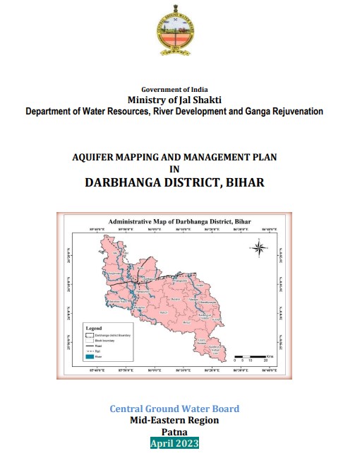
Media image
Publication
Report on AQUIFER MAPPING AND MANAGEMENT PLAN Sagara Taluk, Shimoga District, Karnataka

Sagara taluk with geographical area coverage of 1942 sq.km (Fig. 1.1). The taluk extends between North latitude 13.8515° and 14.3401°and East longitudes 74.6260° and 75.3017...

Media image
Publication
AQUIFER MANAGEMENT PLAN OF PAVAGADA TALUK, TUMKUR DISTRICT, KARNATAKA STATE

Pavagada Taluk, is somewhat irregular shape located in north eastern portion of Tumkur district, Karnataka state totally detached from the district covering an area of 1358...

Media image
Publication
Report on AQUIFER MAPPING AND MANAGEMENT PLAN Tumkur Taluk, Tumkur District, Karnataka

Aquifer m a p p i n g s t u d i e s h a v e b e e n carried o u t i n T u m k u r taluk, Tumkur district o f Karnataka, covering an area of 1026 sq.kms under National Aquife...

Media image
Publication
Report on AQUIFER MAPPING AND MANAGEMENT PLAN Gubbi Taluk, Tumkur District, Karnataka

Aquifer Mapping Studies have been carried out in Gubbi taluk, Tumkur district of Karnataka, covering an area of 1225sq.kms under National Aquifer Mapping Project. The Gubbi...

Media image
Publication
Report on AQUIFER MAPPING AND MANAGEMENT PLAN Kunigal Taluk, Tumkur District, Karnataka

Aquifer Mapping Studies have been carried out in Kunigal taluk, Tumkur district of Karnataka, covering an area of 999 sq.kms under National Aquifer Mapping Project. The Kuni...

Media image
Publication
CHIKKNAYAKANAHALLI TALUK AQUIFER MAPS AND MANAGEMENT PLANS, TUMKURU DISTRICT, KARNATAKA STATE

2 Area : 1,130 sq.kms Coordinates : E76°18' 56.16" - 77°45' 46.87" and N 13°17' 24.75" - 13°45' 15.62" SOI Toposheets : 57 C/6, C/7, C/10, C/11 and C/15

Media image
Publication
Report on AQUIFER MAPPING AND MANAGEMENT PLAN Turuvekere Taluk, Tumkur District, Karnataka

Aquifer Mapping Studies have been carried out in Turuvekere taluk, Tumkur district of Karnataka, covering an area of 785 sq.kms under National Aquifer Mapping Project. The T...

Media image
Publication
MADHUGIRI TALUK AQUIFER MAPS AND MANAGEMENT PLAN, TUMKUR DISTRICT, KARNATAKA

Area : 1118 sq.kms Coordinates : 77° 00' 02.02" - 77° 29' 26.10" N and 13° 34' 25.57" - 13° 55' 56.88" E. SOI Toposheets : 57 G/1, G/2, G/5 and G/6

Media image
Publication
KORATAGERE TALUK AQUIFER MAPS AND MANAGEMENT PLANS, TUMKURU DISTRICT, KARNATAKA STATE

Koratagere taluk, located in north eastern portion of Tumkur district, Karnataka state covering an area of 644 Sq. Kms and is a part of North Pennar river basin located at l...

Media image
Publication
SIRA TALUK AQUIFER MAPS AND MANAGEMENT PLANS, TUMKURU DISTRICT, KARNATAKA STATE

Sira taluk, is located in northern portion of Tumkur district, Karnataka state covering an area of 1,556 sq. kms and is a part of North Pennar river basin located at longitu...

Media image
Publication
TIPTUR TALUK AQUIFER MAPS AND MANAGEMENT PLANS, TUMKURU DISTRICT, KARNATAKA STATE

Area : 790 sq.kms Coordinates : E76°18' 19.94" - 77°43' 54.26" and N 13°03' 1.84" - 13°26' 41.80" SOI Toposheets : 57 C/7, C/8, C/11 and C/12

Media image
Publication
AQUIFER MAPPING AND GROUND WATER MANAGEMENT PLAN FOR BETUL DISTRICT

Betul District having area of 10,043 sq.km was selected for NAQUIM activities during the year 2019-20. The district lies between north latitude 210 22’ and 220 24’ and east...